Each project is delivered as a structured, engineering-ready data package containing:
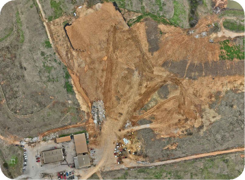
✔ Orthomosaic (GeoTIFF)
A high-resolution, georeferenced orthophoto suitable for CAD and GIS environments.
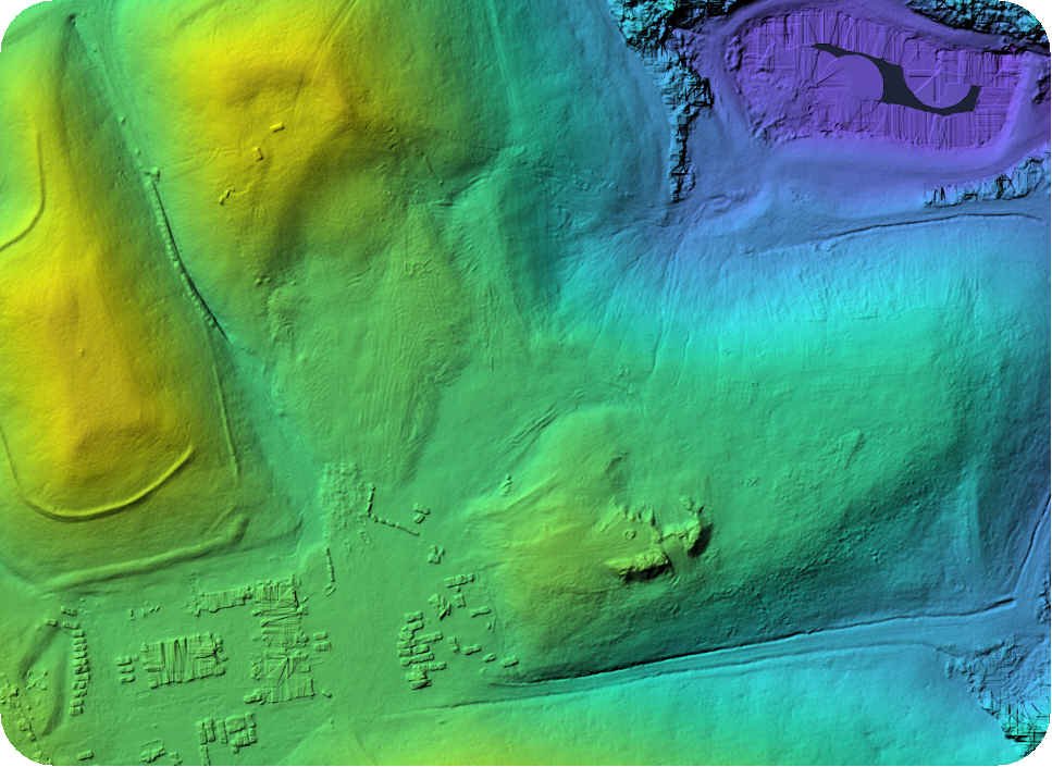
✔ Elevation Models (DSM & DTM)
Digital Surface and Digital Terrain Models for earthwork, grading, drainage, and volumetric analysis.
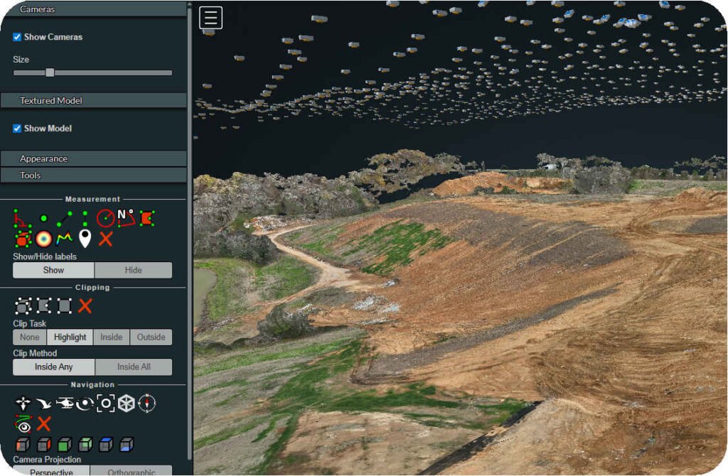
✔ Point Cloud (LAZ)
Georeferenced, compressed point cloud data suitable for surface modeling, measurements, and analysis.
✔ 3D Textured Model
A fully textured, georeferenced 3D model for visualization, inspection, and contextual analysis.
✔ QA/QC Report
A processing report documenting reconstruction statistics, dataset characteristics, and processing parameters.